Map preview
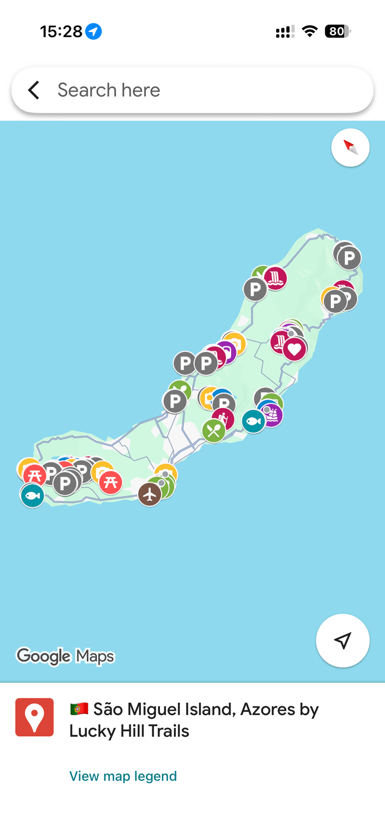

Azores (São Miguel) Google Map – 130+ Handpicked Locations (Viewpoints, Waterfalls, Beaches, Hiking Trails)
130+ personally visited locations – viewpoints, waterfalls, beaches, hiking trails, hot springs, and photo spots – organized and ready to open in Google Maps.
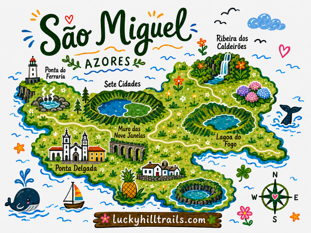
A curated Google Maps guide built from our own trips around São Miguel, Azores – the island's best viewpoints, waterfalls, beaches, hiking trails, hot springs, picnic areas, and hydrangea spots with exact angles, ready to open on your phone.
Planning a São Miguel trip means opening twenty tabs and closing them just as confused.
You know the island has incredible crater lakes. But which viewpoint is actually worth the drive in the fog? Where do you stand to get that photo of Sete Cidades? Which waterfall is a five-minute walk from the road, and which one needs a real hike? Is that hot spring worth the smell?
This map answers all of that in one place.
Our São Miguel map is a single, organized Google Maps guide we built from our own trips around the island. Every pin is somewhere we actually drove to, hiked, swam, or set up a tripod. Nothing is copied from a listicle. If a spot made it onto this map, we stood there ourselves and thought: this one is worth it.
What’s inside
130+ pins across the whole island, organized by category so you can filter to exactly what you need:
- Viewpoints (miradouros) – the crater lakes, coastal panoramas, and the ones most visitors miss.
- Waterfalls, lagoons & crater lakes – Sete Cidades, Fogo, roadside falls and short hikes.
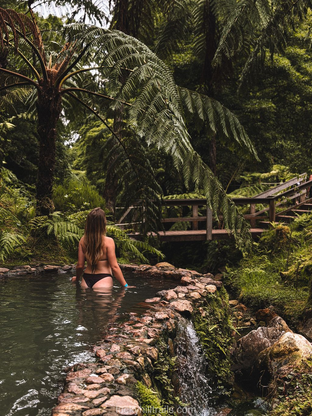
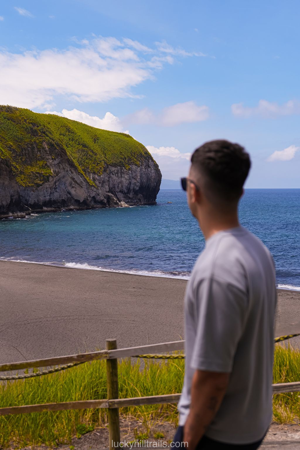
- Beaches & hot springs – black sand, natural pools, and thermal pools worth the soak.
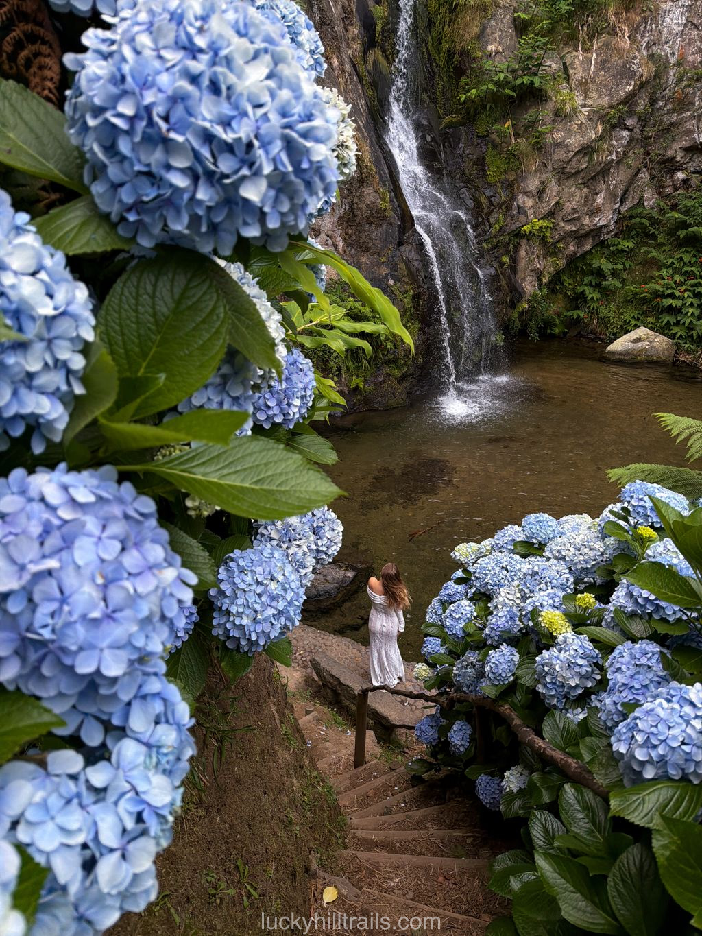
- Hiking trails & hydrangea spots – the routes worth lacing up for, and where the island turns blue and purple.
- Photo spots – with reference shots and the exact spot to stand.
- Cafes, picnic areas & parking – the places we came back to, and where to stop without circling a one-lane road.
Why a Google Maps guide, not a travel blog?
You’ve already read the guides. You know Sete Cidades is beautiful. What you need now is everything in one place, on your phone, ready to navigate – including offline, when you’re driving between miradouros with no signal and the weather has changed twice since breakfast.
Google Maps is how you actually get around São Miguel. So that’s where we put it.
How it works
At checkout, enter the Google account email you use for Google Maps. We’ll share the map directly to that account – it appears in your saved lists within a few minutes. Open it on your phone, filter by category, and go. No app to download, no subscription to manage.
Who this map is for
Travelers who like to decide as they go – to know what’s good within 20 minutes and choose based on the weather, which on São Miguel can flip from fog to a postcard view in half an hour. First-timers who don’t want to miss the island’s best spots, and repeat visitors chasing the ones they skipped. Anyone tired of piecing a São Miguel itinerary together across seven different websites.
If that’s how you travel, this map becomes one of your most-used tools on the island.
Planning a more structured trip? If you want a day-by-day São Miguel itinerary – where to go each day, what to book ahead, and how to pace your time – we’re working on a comprehensive travel guide for exactly that. In the meantime, check our best viewpoints on São Miguel guide – it walks through many of these locations in detail. This map is the on-the-ground companion, the pins in your pocket while you’re there.