
Day 1: Vaduz and the Rhine
Two days in Liechtenstein is enough to slow down. Day one stays entirely inside Vaduz - a town that’s really just Städtle, the castle on the hill above it, and the Rhine at the bottom - small enough to walk end to end without needing a car until day two.
1. Morning at Ruggeller Riet
Start day one early with a drive out to Ruggeller Riet, at the country’s northern tip - 88 hectares of marsh and wet meadow, and the only spot in Liechtenstein protected under the Ramsar wetlands convention since 1991. Storks, herons, kingfishers, and both red and black kites use it as a nesting and stopover site, and they’re most active in the cool of early morning, before the heat sets in.
 Birdingplaces.eu - a guide to Ruggeller Riet for birdwatching.


2. Tree swing at the tripoint of three countries
A short drive from the reserve is a rope swing marking the exact point where Austria, Liechtenstein, and Switzerland all meet along the Rhine - worth the stop just for the novelty of standing in three countries at once.

3. Vaduz Castle
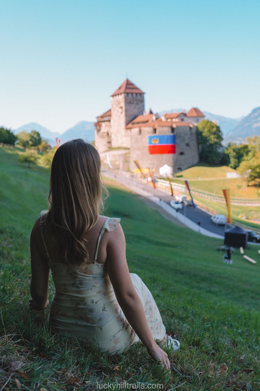
Vaduz Castle is still the actual residence of Prince Hans-Adam II and his family, which is why the interior - and the garden - stay off-limits year-round. From Städtle, or from the Schlossweg path through the vineyards below it, you get a view of the exterior and nothing more.
The one exception is August 15, Staatsfeiertag - Liechtenstein’s national day. That evening the royal family opens the castle grounds and rose garden for a free public reception, complete with wine from the princely vineyards and a fireworks finale. Even then, though, the state rooms inside the castle itself stay locked.
Staatsfeiertag.li - the official program for the August 15 national holiday.

4. Aussichtspunkt Känzile viewpoint
Around 500 meters up Schlossweg - roughly the halfway mark - the trail opens onto Aussichtspunkt Känzile. It looks out over Vaduz, the Rhine valley, and the Swiss Alps on the other side, and the path up is lined with information boards on the region and the princely family’s history.

5. Liechtenstein Postal Museum
Down in Städtle at number 37/43 is the Liechtenstein Postal Museum - open since 1936, and folded into the National Museum of Liechtenstein in 2006. Its collection covers every stamp the country has printed since 1912. Entry is 10 francs, daily from 10:00 to 17:00.
Landesmuseum.li - the official Postal Museum page.
💶 Admission: 10 francs
🕘 Hours: daily 10:00-17:00
6. Kathedrale St. Florin and a walk through the center
Kathedrale St. Florin, Vaduz’s neo-Gothic cathedral, went up in 1873, funded largely by Prince Johann II and designed by Friedrich von Schmidt - the same architect who worked on Cologne Cathedral and built Vienna’s city hall. Cathedral status came later, in 1997, once the Archdiocese of Vaduz existed to claim it. Inside, the stained glass dates to 1965-66, made by Martin Häusle.
From here, the rest of Städtle is a twenty-minute walk end to end - and that stretch is essentially all of central Vaduz.
7. Alte Rheinbrücke
Alte Rheinbrücke, the covered wooden bridge connecting Vaduz to Sevelen on the Swiss side, dates to 1901 - the earlier bridge on the site kept getting raised as work on the Rhine dam progressed, until it was finally rebuilt on the same foundation. At 135 meters, it’s the last wooden bridge still standing across the Alpine Rhine, and it’s been a protected heritage structure since 1981. Only foot and bike traffic is allowed.
The novelty is the border, which runs straight down the middle of the deck - cross it and you’ll pass between Liechtenstein and Switzerland every few steps.


8. Red House (Rotes Haus)
Rotes Haus counts among Vaduz’s oldest surviving buildings, with records of a structure on the site going back to 1338. Ownership passed through the Feistli family, then the Litschers, then the St. Johann monastery, and from 1807 the Rheinbergers - it was Egon Rheinberger, painter and architect, who gave the house its current form in a 1902-1905 renovation. The dark red facade paint that gave it its name went on sometime in the mid-19th century. It’s a private residence today, so the outside is all you’ll see.

9. Aussichtsplattform Walderlebnispfad
For one more angle on the Rhine valley, head into the forest above town, to the Bannholz/Iraggell area near the forest hotel, where the “Letzi” platform - built from fifteen larch trunks - gives yet another vantage point.
 All of Vaduz’s viewpoints face the same direction, toward Switzerland, and show you close to the same view. Pick one and spend the saved time elsewhere.
10. Schaan and St. Laurentius Church
Schaan, the town next door, is worth a quick stop for the Katholische Pfarrkirche St. Laurentius - built in 1888-1893 after its medieval predecessor was torn down for disrepair. At roughly 81 meters, its tower is the tallest of any church in Liechtenstein.

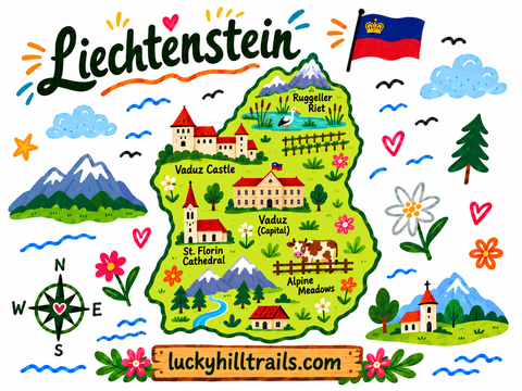
Today’s stops - the castle, the old bridge, Schaan’s church - are all pinned on our Liechtenstein Google Map, together with 70+ other spots across the country, ready to open on your phone.
Day 2: Triesenberg, Gänglesee, and Malbun
Day two is denser than day one - it’s essentially days two and three of our full Liechtenstein itinerary merged into one, so plan to leave Vaduz a bit earlier. The road from Triesenberg through Steg to Malbun runs up the same valley, so all the stops line up naturally into a single loop uphill.
1. Pfarrkirche St. Joseph in Triesenberg
The road climbs into Triesenberg, where the onion-domed Pfarrkirche St. Joseph - consecrated in 1940 - sits on a slope above the valley and doubles as the village’s most recognizable landmark.
2. Lama- & Alpakahof Triesenberg
Just above the church, at roughly 800 meters in the Wangerberg area, is Lama- & Alpakahof. Viewing the animals costs nothing and needs no booking; guided walks with the llamas - some paired with fondue, raclette, or an outdoor barbecue - aren’t priced publicly, so check the farm’s site directly before you go.
Lama- & Alpakahof Triesenberg - the farm's official website.


3. Hike to Stausee Gänglesee
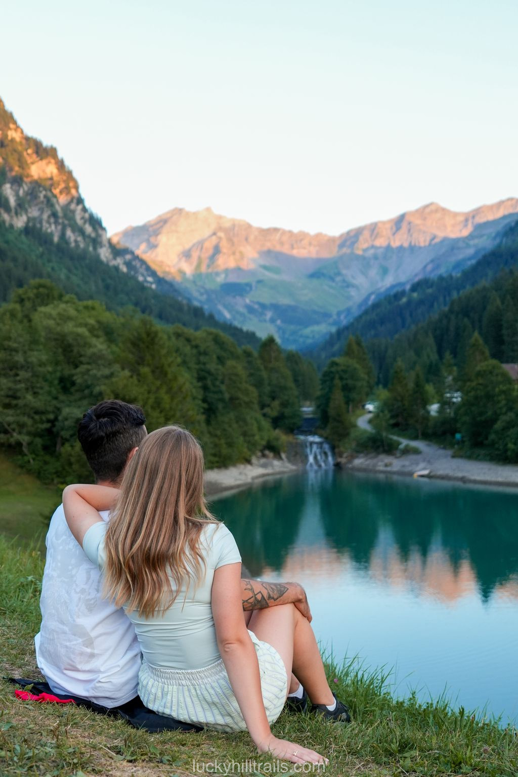
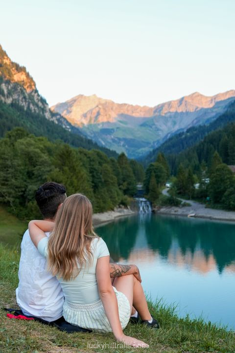
Continue up to Steg, where the trail to Stausee Gänglesee starts - a reservoir sitting at about 1,302 meters. It’s a flat, stroller-friendly walk along the Saminabach stream, roughly 45 minutes to the Alp Valüna hut, and marmots show up often enough along the way, especially higher up the valley.

Swimming is allowed in the reservoir, and there are barbecue spots along the shore; a smaller, calmer pond nearby suits kids and dogs better. Alp Valüna runs from May to mid-October and sells its own alpine cheese and yogurt.


For a more built-up swimming option, Badesee in Gamprin (Bendern) is a free public lake with a lawn, a football pitch, a climbing wall, and a playground - open every day.
Gamprin.li - the official Badesee page.
Gänglesee runs cold - if that’s not your thing, Badesee is the warmer, equally free alternative.
4. Sesselbahn Sareis chairlift
The road keeps climbing past Steg to Malbun, the resort at the top of the country. The Sesselbahn Sareis chairlift runs from there up to around 2,000 meters, where a restaurant and terrace look out over Liechtenstein and into Austria’s Vorarlberg.
Bergbahnen.li - the official website for the Malbun-Sareis chairlift, schedule and prices.

5. A short walk on the Fürstin-Gina-Weg
From the top of the lift, the Fürstin-Gina-Weg trail sets off - named for Princess Gina, Hans-Adam II’s mother. The complete loop covers 12 km and summits Augstenberg (2,359 m, the country’s highest point not on a border), with a night at Pfälzerhütte built in - not realistic on a day that already started with the hike to Gänglesee.
AllTrails - the full Fürstin-Gina-Weg route, if you ever come back for longer.
Walking out partway and turning back works just as well.


The alpaca farm, both lakes, and the Malbun chairlift from today are all on that same map - tap through and navigate straight to whichever stop you pick.
How to Plan a 2-Day Liechtenstein Itinerary
One rental car is all you need: day one in Vaduz is on foot start to finish, and day two - Triesenberg, Steg, Malbun - is where the car earns its keep. Open borders with Switzerland and Austria mean this two-day route drops neatly into a longer Alpine trip rather than standing alone.
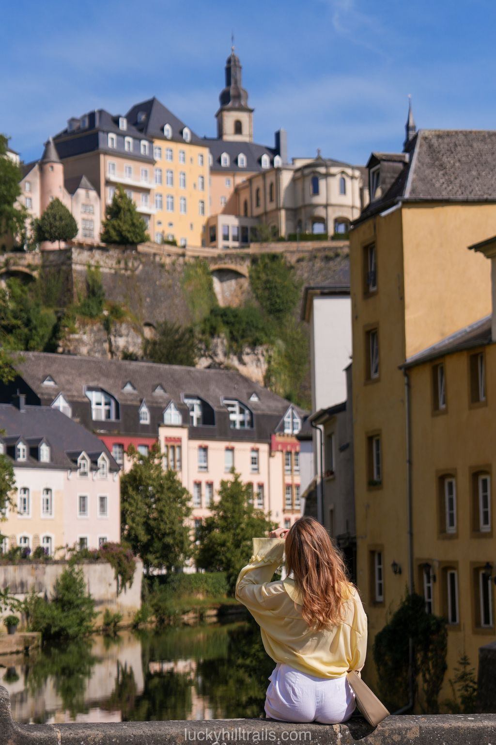
If day two feels too packed, you can spread it over two days instead: our detailed 3-day Liechtenstein itinerary adds Gutenberg Castle and St. Nikolaus church in Balzers, plus the full Fürstin-Gina-Weg loop with a night at Pfälzerhütte. Short on time instead? The 1-day itinerary strips it down to Vaduz plus a quick run up to Malbun. Luxembourg offers a similar bite-sized-country experience for comparison - it’s covered here, and it’s worth a day or two of its own on a wider Europe trip.
Don't just read about it – go!
By booking through my links, you support my work at no extra cost to you. Thank you for helping me keep sharing travel tips 💚