
Day 1: Vaduz and the Rhine
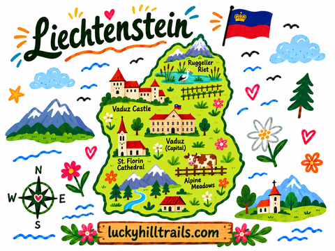
The capital of Liechtenstein is, essentially, one main street - Städtle - a castle above it, and the Rhine below. All of it can be covered on foot in a single day, no car needed.
1. Morning at Ruggeller Riet
Early in the morning it’s worth driving out to Ruggeller Riet, at the country’s northernmost point - 88 hectares of wet meadows and marsh, the only site in Liechtenstein listed under the Ramsar Convention (since 1991). Red and black kites, white storks, grey herons, kingfishers, and dozens of other species nest and stop over here, which is exactly why it’s best to arrive early, before it gets hot and while the birds are still active.
 Birdingplaces.eu - a guide to Ruggeller Riet for birdwatching.


2. Tree swing at the tripoint of three countries
Not far from there is a swing on the border of Austria, Liechtenstein, and Switzerland, right where the borders of all three countries meet by the Rhine.

3. Vaduz Castle
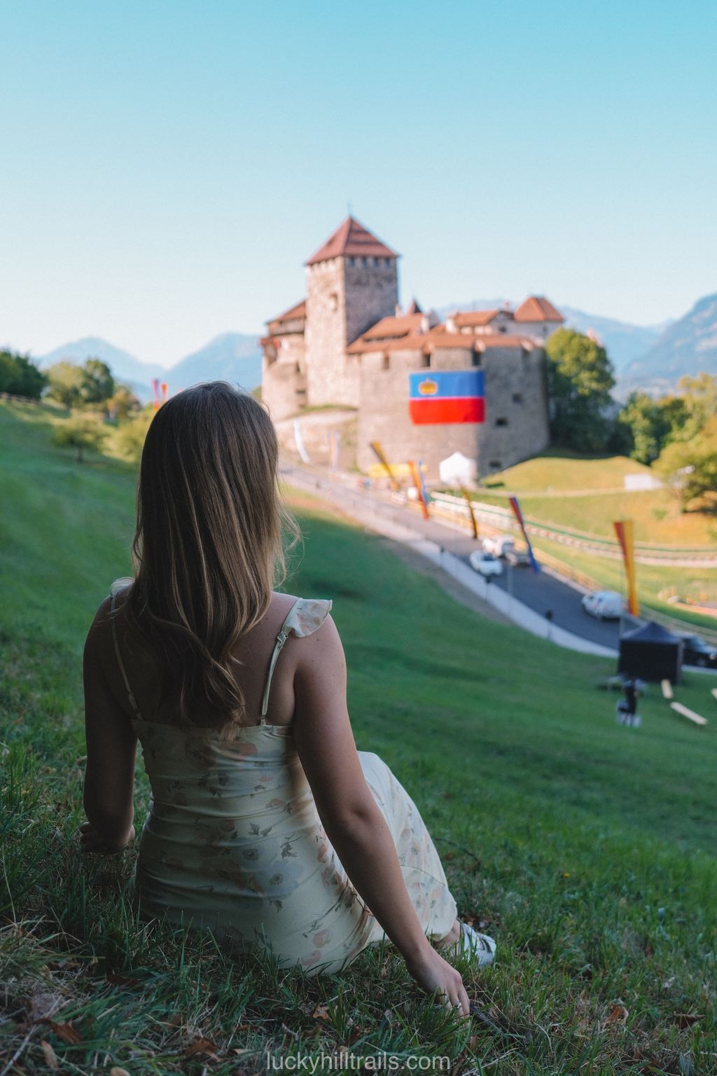
The ruling family lives in the castle, headed by Prince Hans-Adam II, and no one goes inside - not the garden, let alone the private rooms. You can only view it from the side and from below, from Städtle or from the Schlossweg path, which leads up to it through the princely vineyards.
The only day of the year the gates open to the public is August 15, Staatsfeiertag, Liechtenstein’s national holiday. In the evening the princely family personally hosts a reception on the lawn and in the castle’s rose garden - free, no booking required, with wine from their own vineyards and fireworks to close it out. But even on that day, the house itself, the state rooms, stays closed - only the grounds and garden are open.
Staatsfeiertag.li - the official program for the August 15 national holiday.

4. Aussichtspunkt Känzile viewpoint
About halfway along Schlossweg, 500 meters from the center, the path opens onto a small viewpoint called Känzile. From here you can see Vaduz, the Rhine valley, and the Swiss Alps opposite - with information boards about the region’s and the princely house’s history along the way.

5. Liechtenstein Postal Museum
The postal museum has been part of the National Museum of Liechtenstein since 2006, though it first opened back in 1936. It holds every postage stamp the country has issued since 1912. It’s in the center, at Städtle 37/43.
Landesmuseum.li - the official Postal Museum page.
💶 Admission: 10 francs
🕘 Hours: daily 10:00-17:00
6. Kathedrale St. Florin and a walk through the center
St. Florin’s Cathedral has stood in the center of Vaduz since 1873 - the neo-Gothic building was designed by Friedrich von Schmidt, the same architect who worked on Cologne Cathedral and built Vienna’s city hall, with most of the construction funded by Prince Johann II. It only gained cathedral status in 1997, when the Archdiocese of Vaduz was created. The stained glass inside is the work of Martin Häusle, from 1965-66.
From the cathedral it’s worth just walking Städtle to the end - it takes about twenty minutes, and that’s where the whole town is concentrated.
7. Alte Rheinbrücke
Heading down toward the Rhine, you reach an old wooden bridge connecting Vaduz to the Swiss town of Sevelen. The current structure has stood since 1901 - the previous bridge on this spot had to be raised several times because of work on the Rhine dam, and it was eventually rebuilt on the old foundation. It’s a covered wooden bridge 135 meters long, and today it’s the last surviving wooden bridge across the Alpine Rhine, protected as a heritage site since 1981. Cars aren’t allowed, only pedestrians and cyclists.
There’s a fun feeling to it - the border runs right down the middle of the bridge, so as you walk across, every few steps you’re back and forth between Liechtenstein and Switzerland.


8. Red House (Rotes Haus)
The red house nearby is one of the oldest buildings in Vaduz: the first records of a building on this site go back to 1338, and through the Feistli family, then the Litscher family, the St. Johann monastery, and eventually the Rheinberger family (from 1807), it reached its current form during a 1902-1905 renovation carried out by the painter and architect Egon Rheinberger. It got its name from the dark red paint on its facade, applied back in the mid-19th century. The building is still private - no one goes inside, only photos from outside.

9. Aussichtsplattform Walderlebnispfad
Another viewpoint, this time in the forest above Vaduz, in the Bannholz/Iraggell area, starts near the forest hotel. The platform itself, “Letzi,” is built from fifteen larch trunks and also looks out over the Rhine valley.
 Honestly, the view from every viewpoint around Vaduz looks in the same direction - toward Switzerland - and is essentially identical. You can safely pick just one instead of doing them all.
10. Schaan and St. Laurentius Church
On the way you can stop in the neighboring town of Schaan and see the Katholische Pfarrkirche St. Laurentius - the town’s main parish church. The current building was put up in 1888-1893 on the site of a medieval church that had been demolished due to its poor condition. The tower is about 81 meters tall - the tallest church tower in all of Liechtenstein.

Every stop from today - the castle, the viewpoints, the old bridge - is pinned on our Liechtenstein Google Map, alongside 70+ other spots across the country, ready to open on your phone.
Day 2: Balzers, alpacas, and Lake Gänglesee
1. Burg Gutenberg and Pfarrkirche St. Nikolaus in Balzers
Day two’s morning starts in Balzers, at Gutenberg Castle on a rocky hill right in the center of town. The ruins were bought in 1905 by the sculptor and architect Egon Rheinberger - the same one who renovated Red House in Vaduz - and by 1910 he’d restored the castle to its current form, with a chapel and rose garden. The chapel and garden are open for free visits every Sunday from 10:00 to 17:00, but only from May 1 to October 31; the castle is closed the rest of the year. The inner courtyard has to be booked separately, in advance.

Right at the foot of the hill stands the parish church St. Nikolaus - the previous one burned down back in 1795, and the current Neo-Romanesque building went up in 1909-1912.
Burg-gutenberg.li - the official Gutenberg Castle website.
🕘 Castle chapel and rose garden: Sundays 10:00-17:00, May through October only
2. Pfarrkirche St. Joseph in Triesenberg
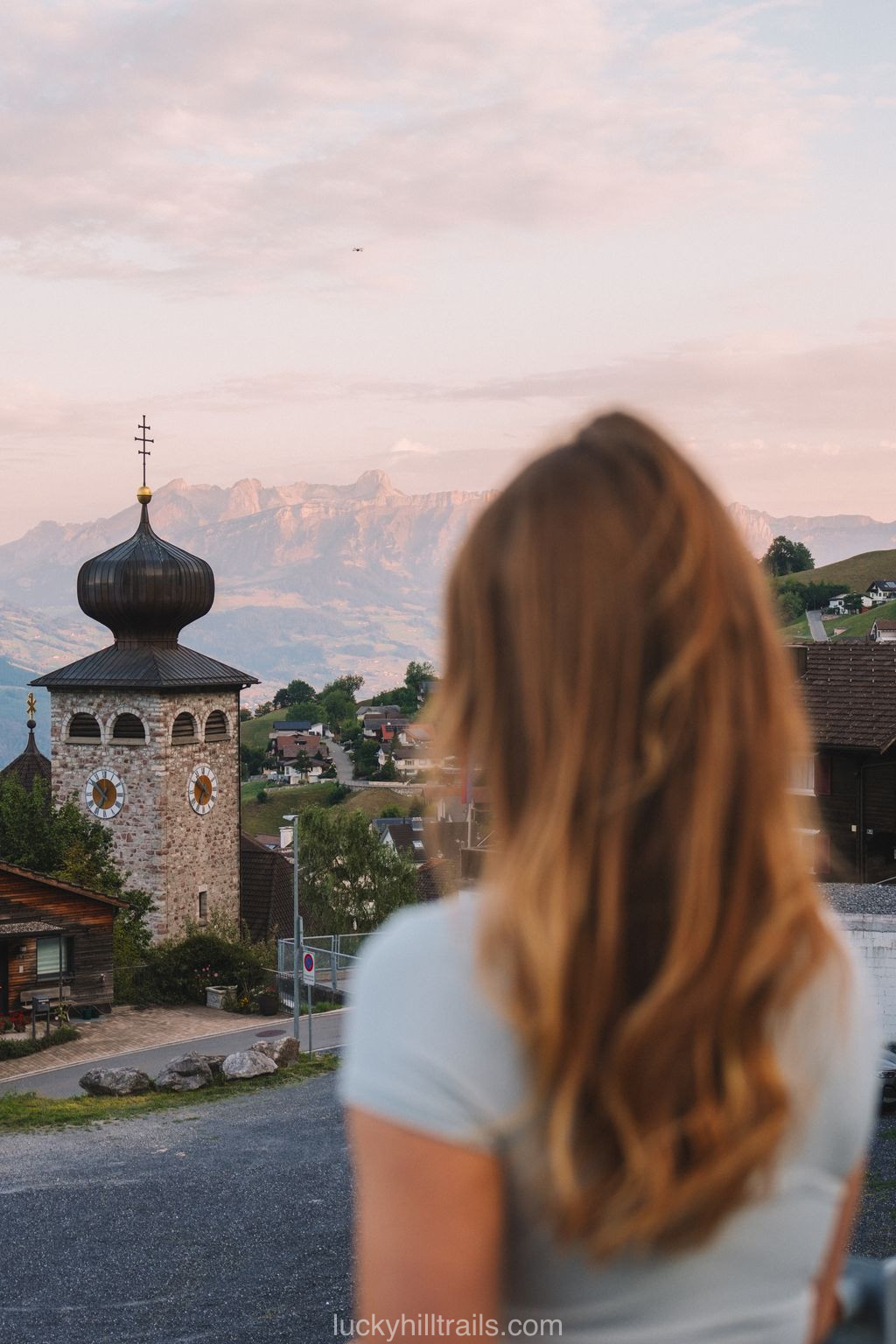
From there the road leads to Triesenberg - the village’s main church, with its distinctive onion dome consecrated in 1940, stands on a slope overlooking the valley and is the village’s landmark.

3. Lama- & Alpakahof Triesenberg
Right here, at around 800 meters in the Wangerberg area, is a llama and alpaca farm. Just looking at the animals is free and available anytime, no booking needed, but paid walks with the llamas - including options with fondue, raclette, or an outdoor barbecue - are best checked directly on the farm’s website, since exact prices aren’t listed publicly.
Lama- & Alpakahof Triesenberg - the farm's official website.


4. Hike to Stausee Gänglesee
From Triesenberg the road climbs to Steg, where a very easy hike to the Gänglesee reservoir begins, at around 1,302 meters. The path along the Saminabach stream is flat, with no climbing, and even works for strollers - it’s about a 45-minute walk to the nearby Alp Valüna mountain hut. Marmots turn up fairly often along the way - especially in the upper part of the valley.

You can swim in Gänglesee, and nearby there’s a smaller pond, calmer and better for kids and dogs. Alp Valüna is open from May through mid-October, serving homemade alpine cheese and yogurt.


If you’d rather swim somewhere more developed than a mountain reservoir, there’s Badesee in Gamprin (Bendern). It’s a free public swimming lake with a lawn, a football pitch, a climbing wall, and a playground, open daily.
Gamprin.li - the official Badesee page.
If Gänglesee’s water feels too cold, Badesee is a much more comfortable option, and it’s free too.
The castle, the alpaca farm, and both lakes from today are all pinned on our Liechtenstein Google Map too, so you can navigate straight to whichever one you pick.
Day 3: Malbun
The third day can be spent entirely in Malbun - the mountain resort in the country’s highest area.
1. Sesselbahn Sareis chairlift
The chairlift takes you from Malbun up to Sareis, at around 2,000 meters, where there’s a mountain restaurant and a terrace looking out over Liechtenstein and Austria’s Vorarlberg.
Bergbahnen.li - the official website for the Malbun-Sareis chairlift, schedule and prices.

2. Fürstin-Gina-Weg
At the top begins the Fürstin-Gina-Weg trail, named after Princess Gina, mother of the current Prince Hans-Adam II. The full loop is about 12 km, climbing Augstenberg (2,359 m, the highest point in Liechtenstein not on the border), an overnight at the Pfälzerhütte mountain hut, and a descent back to Malbun - a serious, long mountain route.
AllTrails - the full Fürstin-Gina-Weg route.
You don’t have to do the whole loop - you can just walk part of the trail, or hike up to Pfälzerhütte for breakfast and head back the same way.


3. Alp Pradamee farm
On the way back, about twenty minutes on foot from Malbun, is Alp Pradamee - a summer mountain farm at around 1,485 meters, where more than a hundred cows graze in summer. Fresh milk, alpine cheese, and yogurt are sold right there. We also found a hammock here with a really nice view over the valley - and surrounded by grazing cows, it turned out to be one of the most enjoyable spots of the whole trip.


Every stop on this Malbun day, from the chairlift to Alp Pradamee, is already pinned on our Liechtenstein Google Map - 70+ locations across the whole country, ready to open on your phone.
Planning the route
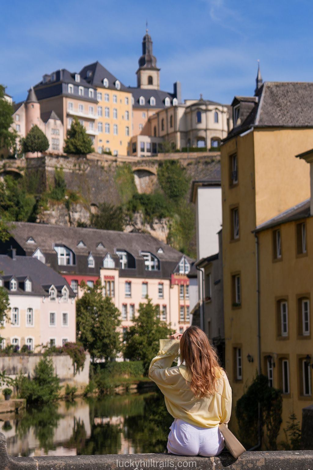
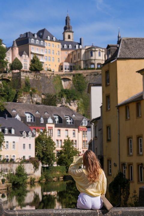
Liechtenstein is so compact that all three days are realistically doable with a single rental car, with no need for public transport. The day in Vaduz is walkable and needs no car at all, but Triesenberg, Steg, and Malbun are easier to reach with your own transport. The country borders both Switzerland and Austria with no border control, so this route fits naturally into a longer trip - much like another small European principality, Luxembourg, which is also worth 2-3 days on its own within a wider European itinerary.
Don't just read about it – go!
By booking through my links, you support my work at no extra cost to you. Thank you for helping me keep sharing travel tips 💚