Map preview
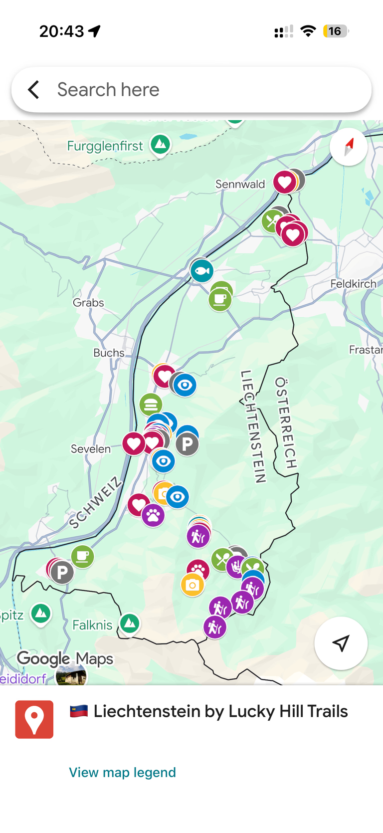
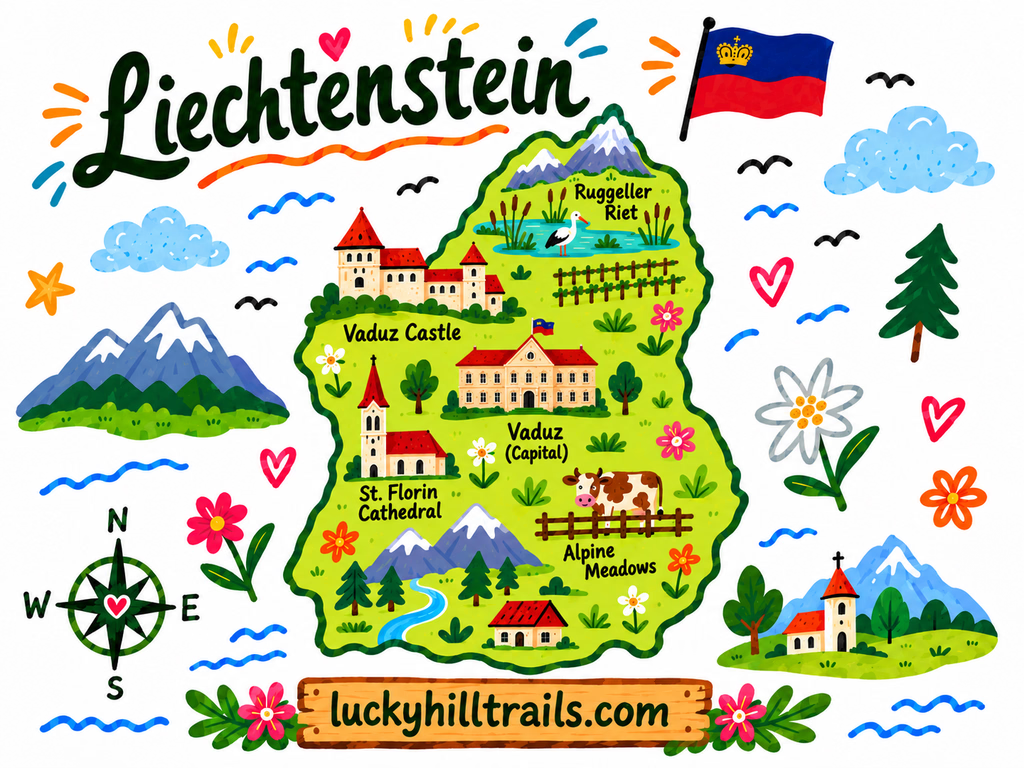
Liechtenstein Google Map - 70+ Handpicked Locations (Vaduz, Malbun, Hiking Trails & Alpine Farms)
70+ personally visited locations across Liechtenstein - Vaduz, Malbun, hiking trails, and alpine farms - organized and ready to open in Google Maps.
A curated Google Maps guide built from our own 3-day trip around Liechtenstein - Vaduz's castle and old town, Malbun's Alpine trails, mountain lakes, and farm stops, with exact spots, ready to open on your phone.
Planning a Liechtenstein trip usually means realizing the country is smaller than most cities and wondering if that changes anything about how you plan it.
You know Vaduz has a castle you can’t go inside. But which viewpoint above town actually earns the walk, and which ones look the same? Is the hike to Gänglesee worth it, or is Badesee the easier swim? Which farm stop deserves a detour, and which trail up from Malbun is a real mountain route and not a stroll?
This map answers all of that in one place.
Our Liechtenstein map is a single, organized Google Maps guide we built from our own three days driving, hiking, and walking across the country. Every pin is somewhere we actually stood, hiked to, or stopped the car for. If a spot made it onto this map, we went there ourselves and thought: this one is worth it.
What’s inside
70+ pins across the whole country, organized by category so you can filter to exactly what you need:
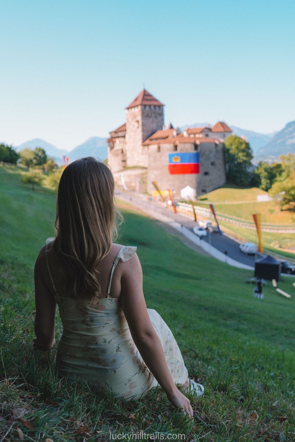
- Castles & viewpoints - Vaduz Castle, Gutenberg Castle in Balzers, and the viewpoints above Vaduz worth picking over the rest.
- Hiking trails & mountain huts - the Sareis chairlift, the Fürstin-Gina-Weg trail toward Augstenberg, and the Pfälzerhütte route.
- Lakes & swimming spots - the Gänglesee reservoir hike and Badesee in Gamprin.
- Farms & alpine stops - the alpaca and llama farm in Triesenberg, Alp Pradamee above Malbun, and where to actually stop for fresh cheese and yogurt.
- Old town & landmarks - Städtle, the Alte Rheinbrücke, the Red House, and the churches worth a look.
Why a Google Maps guide, not a travel blog?
You’ve already read that Liechtenstein has a castle and a capital you can walk end to end. What you need now is everything in one place, on your phone, ready to navigate - including the stretch between Triesenberg, Steg, and Malbun, where the road climbs and the signal doesn’t always follow.
Google Maps is how you actually get around Liechtenstein. So that’s where we put it.
How it works
At checkout, enter the Google account email you use for Google Maps. We’ll share the map directly to that account - it appears in your saved lists within a few minutes. Open it on your phone, filter by category, and go. No app to download, no subscription to manage.
Who this map is for
Travelers doing Liechtenstein as part of a bigger Switzerland or Austria trip who don’t want to lose a day figuring out which viewpoint is worth it or how long the reservoir hike actually takes. First-timers who want to see the castle, the old town, and Malbun without missing the smaller stops in between. Anyone who’d rather have every pin waiting on their phone than piece together a Liechtenstein route from four different sites.
Planning a more structured trip? If you want a day-by-day route - what to do each day, how to time Malbun and the hiking, and what’s worth the detour - check our Liechtenstein in 3 days itinerary; it walks through many of these same locations in detail. This map is the on-the-ground companion, the pins in your pocket while you’re there.