Map preview
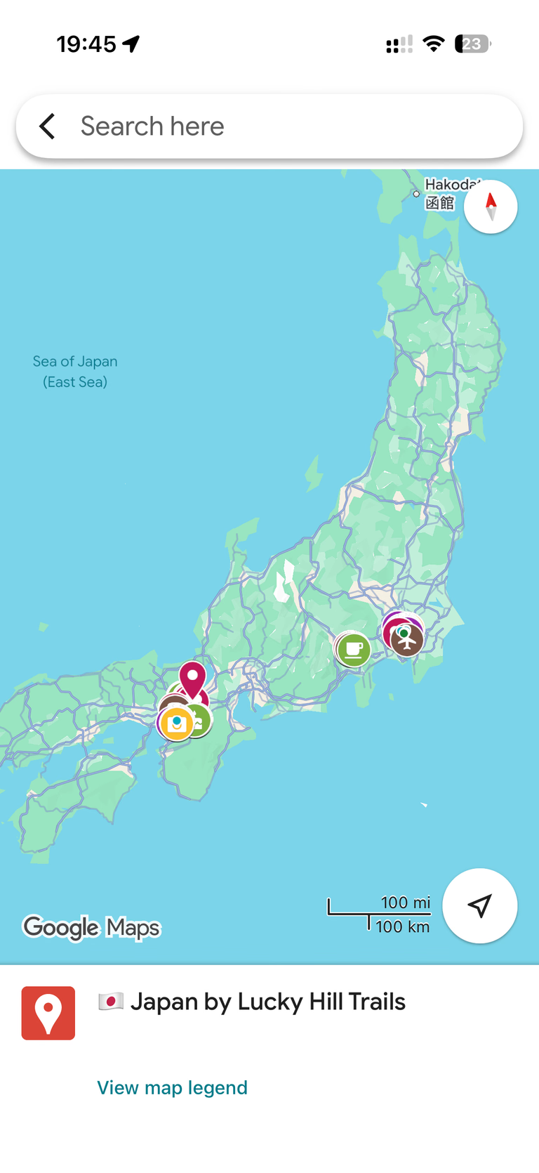
Japan Google Map – 130+ Handpicked Locations (Tokyo, Osaka, Kyoto, Nara & Mount Fuji)
130+ personally visited locations across Tokyo, Osaka, Kyoto, Nara & Fujikawaguchiko – photo spots, cafes, temples, and entertainment – ready to open in Google Maps.
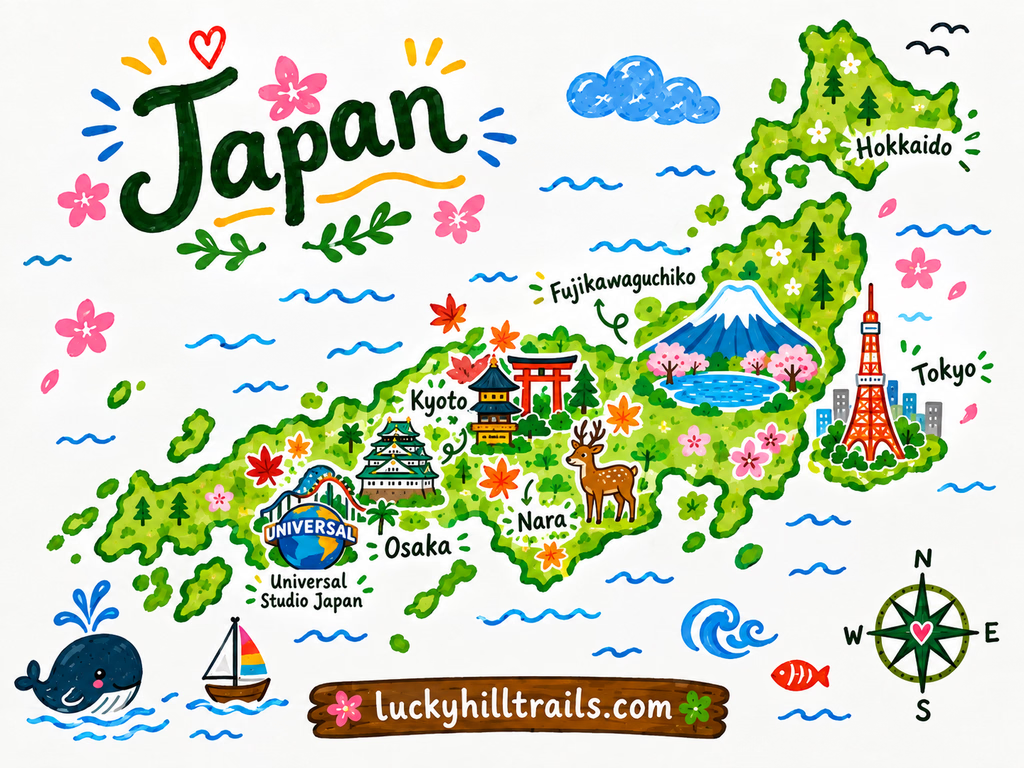
A curated Google Maps guide built from our first trip across Japan – Tokyo, Osaka, Kyoto, Nara, and Fujikawaguchiko's photo spots, cafes, temples, and things to do, ready to open on your phone.
Planning a first Japan trip means opening twenty tabs across five cities and closing them just as confused.
You know Kyoto has temples, but which ones are worth the crowds and which are better skipped? Which coffee shop in Tokyo is actually worth the detour, and which is just Instagram-famous? Is the Fujikawaguchiko viewpoint everyone posts actually reachable on a day trip, and where do you go if the mountain’s hiding behind clouds?
This map answers all of that in one place.
Our Japan map is a single, organized Google Maps guide built from our own first trip across the country – Tokyo, Osaka, Kyoto, Nara, and Fujikawaguchiko. Every pin is somewhere we actually went. If a spot made it onto this map, we stood there ourselves and thought: this one is worth it.
What’s inside
130+ pins across Tokyo, Osaka, Kyoto, Nara, and Fujikawaguchiko, organized by category so you can filter to exactly what you need:
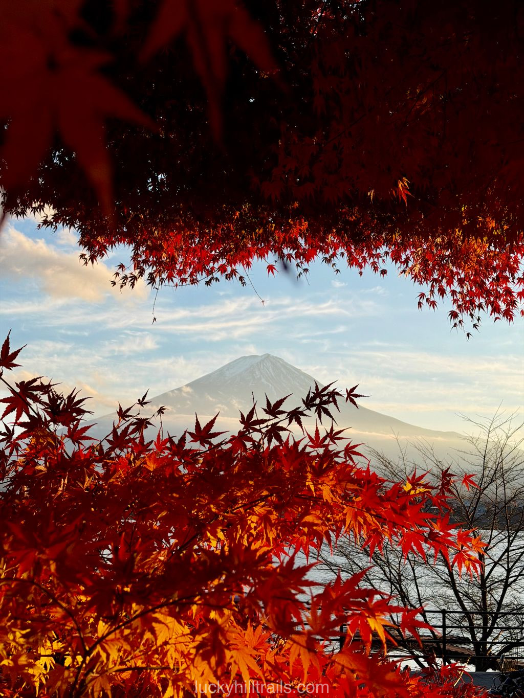
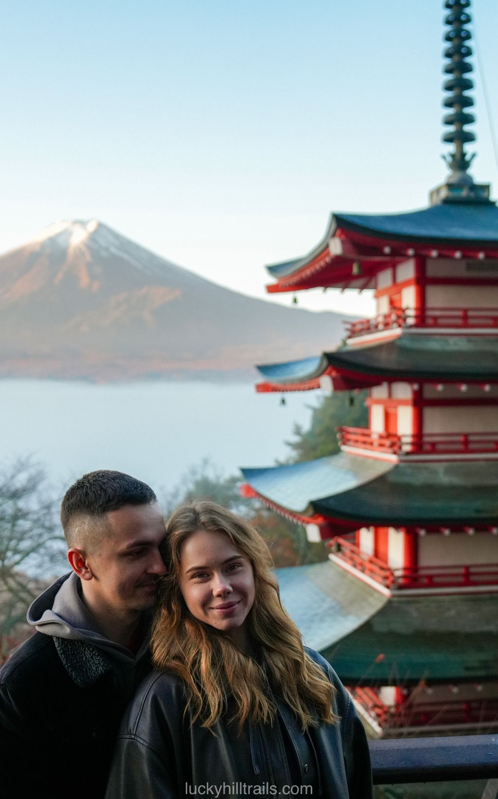
- Photo spots – the angles and viewpoints we actually stopped for, from temple grounds in Kyoto to lake views in Fujikawaguchiko.
- Cafes & coffee shops – the ones we went back to more than once, across Tokyo, Osaka, and Kyoto.
- Temples & shrines – the ones worth the walk and the queue, from Kyoto’s alleys to Nara’s park.
- Entertainment & experiences – arcades, izakaya streets, and the other things that filled our evenings between temple visits.
Why a Google Maps guide, not a travel blog?
You’ve already read that Kyoto has temples and Tokyo has neon. What you need now is everything in one place, on your phone, ready to navigate – including on the trains and subways between cities, where switching apps mid-transfer isn’t really an option.
Google Maps is how you actually get around Japan. So that’s where we put it. If you want the story behind some of these stops first, our Kyoto guide and Mount Fuji viewpoints posts walk through a few of them in detail.
How it works
At checkout, enter the Google account email you use for Google Maps. We’ll share the map directly to that account – it appears in your saved lists within a few minutes. Open it on your phone, filter by category, and go. No app to download, no subscription to manage.
Who this map is for
First-timers piecing together a Tokyo–Kyoto–Osaka–Nara route who don’t want to lose an evening figuring out which temple is worth the crowds or where to actually find good coffee. Anyone tired of switching between five browser tabs and a half-finished spreadsheet to plan a Japan trip.
If that’s how you travel, this map becomes one of your most-used tools on the trip.
Planning a more structured trip? If you want the story behind these stops, check our first-Japan-trip guides for Tokyo, Osaka, Kyoto, Nara, and Mount Fuji – they walk through many of these same locations in detail. This map is the on-the-ground companion, the pins in your pocket while you’re there.